NYC is sinking and climate change is only making it worse
The weight from giant skyscrapers is magnifying the problem.

The catastrophic flooding from 2012’s Hurricane Sandy inundated parts of the New York City subway system with corrosive salt water and brought with it a warning for the future. Now, scientists have learned that the city is sinking, and it’s not just the underground trains that are in trouble.
[Related: New York City’s subway system isn’t ready for a storm-filled future.]
A study published earlier this month in the Earth’s Future journal found that New York City is sinking at a rate of roughly one to two millimeters per year, but certain parts of northern Staten Island, Brooklyn, Queens, and lower Manhattan are actually sinking faster at 2.75mm per year.
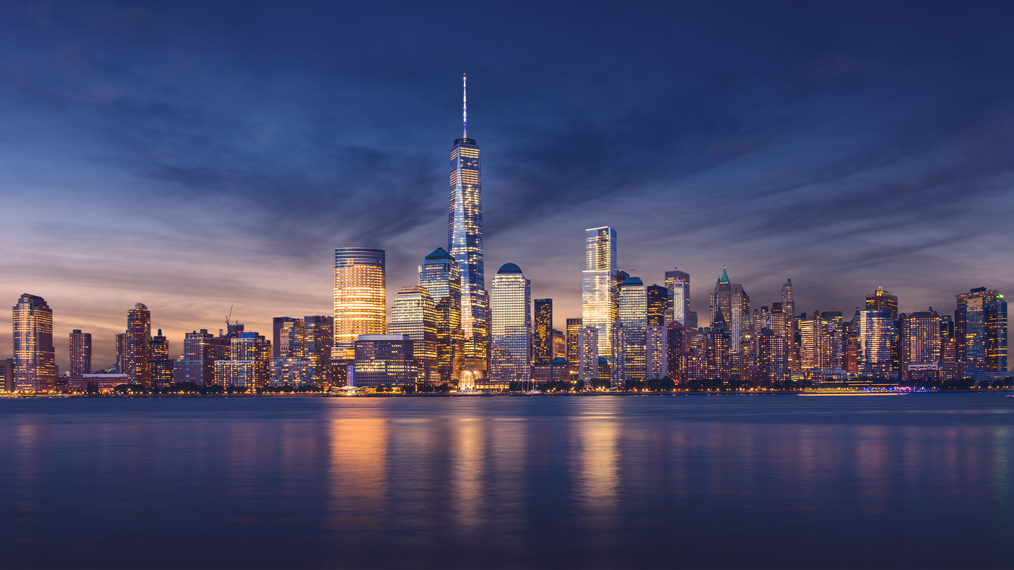
There is not one cause for this sinking, but the weight from giant skyscrapers is magnifying the problem. In the study, the team calculated that all of the city’s structures weigh 842 million tons (1.68 trillion pounds), about the weight of 140 million elephants.
Many of the city’s largest buildings sit upon solid bedrock called Manhattan schist, but there is a mixture of sand and other clays holding up some of the other structures. For example, the Manhattan stanchion of the famed Brooklyn Bridge is built on a hard layer of sand, since it was too dangerous for the workers building it to keep drilling down to bedrock.
“The softer the soil, the more compression there is from the buildings. It wasn’t a mistake to build such large buildings in New York but we’ve just got to keep in mind every time you build something there you push down the ground a little bit more,” study co-author and a geophysicist at the US Geological Survey Tom Parsons told The Guardian.
The clay and sand is adding to the sinking effect that might be due to the way that the Earth below continues to shift following the Earth’s most recent ice age–about 10,000 years ago. Giant ice sheets covered Earth during the coldest parts of the planet’s last ice age, which caused the ground right underneath them to sink. The landmasses tilted up and after the ice sheets melted, the areas that were propped up like New York and other cities in eastern North America are now sinking back down. Earlier studies suggest the East Coast could see as much as 19 to 59 inches of sinking by 2100.
Climate change is compounding the issue, as the sea level rise continues to accelerate. The waters surrounding New York City are rising at about twice the global average due the glaciers melting from the effects of climate change and seawater expanding. Since 1950, the sea level around New York City has increased about nine inches. According to the NYC Panel on Climate Change, the sea level could rise between eight inches and 30 inches by the 2050s and as much as 15 inches to 75 inches by the end of this century.
“A deeply concentrated population of 8.4 million people faces varying degrees of hazard from inundation in New York City,” the team wrote in the study.
[Related: At New York City’s biggest power plant, a switch to clean energy will help a neighborhood breathe easier.]
New York is not the only city that will be facing this crisis. A report from the C40 Group, a network of mayors from some of the world’s biggest cities dedicated to confronting the effects of climate change, found that 800 million people are expected to live in coastal cities where sea levels are expected to rise by over a foot by 2050.
The study’s authors also stress the need to adapt to these threats of increased flooding. “Every additional high-rise building constructed at coastal, river, or lakefront settings could contribute to future flood risk,” the authors wrote.
In the fall of 2020, New York City began construction on the East Side Coastal Resiliency Project which is aimed at reducing the flood risk and sea level rise along Manhattan’s east side. According to the city government, the boundaries of this project correspond with the natural “pinch-points” in the 100-year floodplain. These are areas where the land is higher along the coastline, making it easier to close the system off from water entering from the north and south. The project is expected to be complete in 2026 and will eventually span 2.4 miles and include 18 movable floodgates.
